
Walks and Views
Scenic walks, lookouts and nature trails.
November 2026
Filters
Event Date
Price
Format
Categories
Tags

Chorley Park (Rosedale)
A quiet 5 hectare park near Mount Pleasant and St. Clair East with a mature tree canopy, picnic tables and a lookout over the Don River Valley. Switchback trails lead down into the valley and connect to the Beltline Trail and the Don Valley Brick Works. Open year round and free.

David A. Balfour Park (Deer Park)
A 20.5 hectare park near Yonge and St. Clair with ornamental fountains, reflecting pools, a gated garden retreat and a children's playground on top of a reservoir. It overlooks a forested ravine, and trails with footbridges lead down into the valley to the Kay Gardner Beltline Trail. Open year round and free.

St. James Park (Old Town)
A series of formal Victorian style gardens beside St. James Cathedral in the heart of Old Town, with a grand gazebo, a central fountain and paths through flower beds and old trees. It is a lovely place for a quiet stroll near St. Lawrence Market. Open year round and free.

Humber Marshes (Swansea)
One of the few river mouth marshes left in Toronto, where the Humber River, a Canadian Heritage River, widens before reaching Lake Ontario. It is an important corridor for migrating songbirds and monarch butterflies, with more than 60 fish species in the river, and trails along the shore. Open year round and free.

East Point Park and Bird Flyway (Scarborough)
One of Toronto's largest waterfront parklands, part of the Scarborough Bluffs, with meadows, bluffs, a natural beach and woodland trails. It is a major stopover for migrating monarch butterflies and more than 178 bird species, making it a top birding destination. Walk to the beach from the end of Beechgrove Drive or Copperfield Road; open year round and free.
Cathedral Bluffs Park (Scarborough)
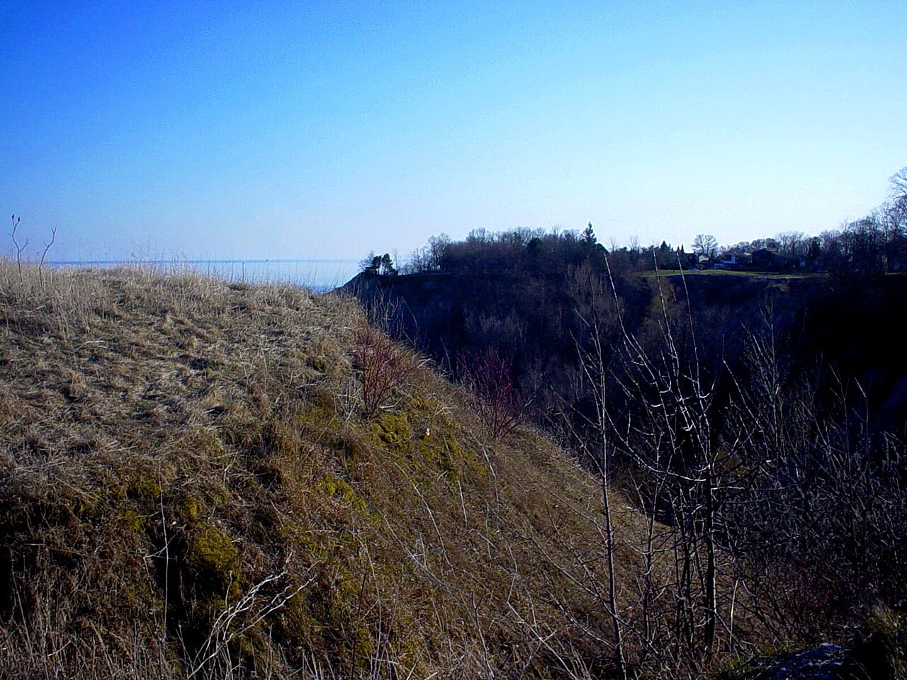
A clifftop park at one of the highest points of the Scarborough Bluffs, with sweeping views of Lake Ontario and the spires of the bluffs far below. There is no access to the water here, so stay behind the fences and enjoy the lookout. Open year round and free.

Rosetta McClain Gardens (Scarborough)
A fully accessible garden park on top of the Scarborough Bluffs, with rose gardens, raised planters, braille signage and a rock fountain under a pergola. It is a haven for flower lovers and bird and butterfly watchers, with spectacular views over Lake Ontario. Open year round and free.

Crothers Woods (Don Valley)
A large forest in the Don River Valley with about 10 km of natural surface trails, a diverse bird population and lookouts with spectacular views of the city skyline. Trails include intermediate singletrack for hiking and mountain biking plus the easier 1.3 km Sun Valley Trail and the restored meadow at Cottonwood Flats. Open year round and free.

Glen Stewart Ravine (The Beaches)
An 11 hectare forested ravine in the Beaches, fed by clean groundwater from Ames Creek, with trails and stairs through steep slopes of red oak and red maple. It is a designated Environmentally Significant Area where several regionally uncommon birds and plants have been seen. Open year round and free.

Cartier-Roberval Archaeological Site (Cap-Rouge)
An outdoor site on the Cap-Rouge promontory where archaeologists found traces of the forts built by Jacques Cartier and Roberval in 1541, with an interpretive trail, old trees and a footbridge lookout over the St. Lawrence. It is a quiet spot for a short walk with a great river view, and leashed dogs are welcome. Free access from April to November (the lookout footbridge is open 24 hours); parking is free.

Parc de la Plage-Jacques-Cartier (Sainte-Foy and Cap-Rouge)
A wooded natural park stretching 2.6 km along the St. Lawrence, one of the few places in the city where you can reach the shoreline, with a narrow river terrace, a foreshore and a cliff with panoramic views. Walk or run on the dirt trails in summer, and on the packed trail or with snowshoes in winter. Hours vary by season and sector (from mid November to April, 8 a.m. to 8 p.m., with access through the Cap-Rouge sector); access, parking and activities are free.

Parc linéaire de la Rivière-Saint-Charles (river trail)
A 32 km linear park that follows the Saint-Charles River from its mouth near the Old Port to its source at Lac Saint-Charles, with bridges, boardwalks, lookouts, birdlife and public art along 13 sectors. You can walk the whole trail, cycle about 8 km of it, and in winter use 30 km of groomed walking trail plus ski and snowshoe sections. Open daily 6 a.m. to 11 p.m.; access is free and parking is free in most sectors (a section near parc Chauveau is detoured for erosion work).